Ebenezer News Explainer DeskExplainers are written from our published summary and its cited sources, then checked against them.31 Oct 2026, 01:41 amUpdated 2h ago4 min readIndiaIndia
The successful launch of the NVS-03 satellite by ISRO is a critical step to restore the full functionality of India's regional navigation system, NavIC. This mission is vital for maintaining reliable navigation services after the constellation faced challenges with onboard atomic clocks and previous deployment issues.
Simple details
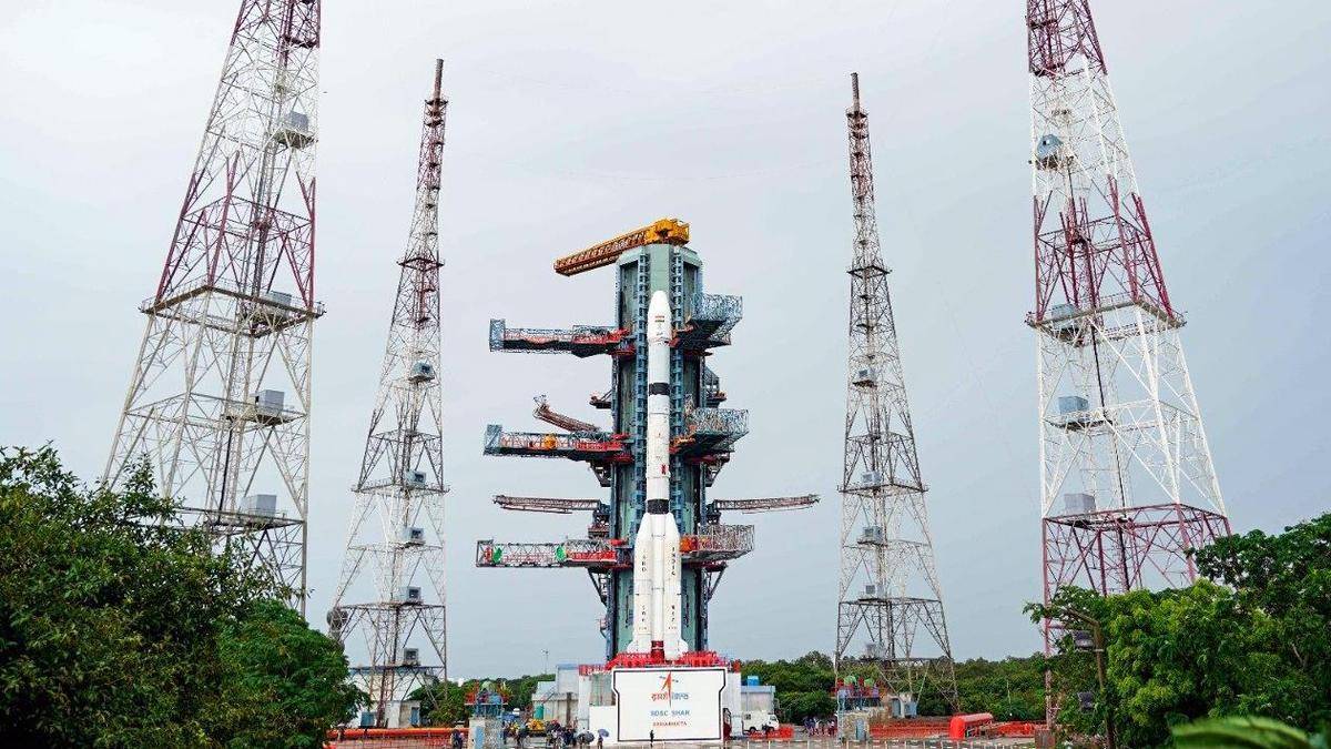
The mission used the GSLV-F18 launch vehicle.
The launch took place from the Satish Dhawan Space Centre.
Previous issues included the failure of the NVS-02 satellite deployment.
NavIC was conceived after the 1999 Kargil War.
The system uses indigenous atomic clocks to improve accuracy.
What happened in space
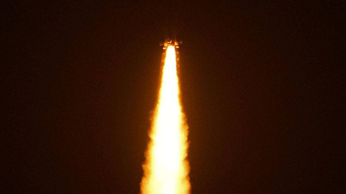
The Geosynchronous Satellite Launch Vehicle, known as GSLV-F18, successfully carried the NVS-03 satellite into space. This operation took place at the Satish Dhawan Space Centre in Sriharikota.
According to ISRO, the launch occurred on October 31, 2026. The mission was originally scheduled for October 30, 2026, at 23:51 hours IST.
This launch is a significant recovery effort for the space agency. It follows a period where the constellation struggled to maintain its intended performance levels.
It's a complex process to get these satellites into the right orbit. The agency had to ensure that the GSLV-F18 performed perfectly to avoid repeating past errors.
Why this launch matters
NavIC is an indigenous system designed to provide accurate positioning and timing services. The system is important for regional independence in navigation technology.
Users of regional navigation services
Sectors relying on precise timing data
National security and defense operations
Commercial logistics and transport networks
Disaster management and emergency response teams
This mission is essential because the NavIC constellation has been weakened by repeated failures of its onboard atomic clocks. The inability to place the previous replacement satellite, NVS-02, in its intended orbit also created a gap in service.
How we got here
The development of India's regional satellite navigation system began following the 1999 Kargil War. This initiative was prompted by reports that the U.S. clamped down on GPS data access during that conflict.
Building an indigenous system allows the country to maintain control over its navigation data. It ensures that services remain available regardless of external geopolitical factors or restrictions on international systems.
Reality check
Space missions face inherent risks that can lead to delays or technical failures. Even with a successful launch, the long-term reliability of new hardware remains subject to the harsh conditions of space.
Atomic clocks are complex devices. Their performance can degrade over time, which is why the agency must continue to launch replacement units to keep the network stable.
It isn't always easy to maintain a constellation of satellites. Technical hurdles are common in such advanced engineering projects.
What happens next
Following the successful launch, the satellite must undergo various checks to ensure it is fully operational. ISRO will monitor its performance to confirm it integrates correctly with the existing constellation.
Verification of the satellite's orbital placement.
Testing of the upgraded indigenous atomic clocks.
Integration of the new unit into the NavIC network.
Assessment of overall system signal accuracy.
If the satellite functions as intended, it could restore the reliability of the navigation network. This would allow for more consistent and precise services across the region.
You'll see the agency continue to focus on stabilizing the network. Future missions may depend on the data gathered from this specific launch.
Who should buy and who should skip
Government agencies requiring sovereign navigation data
Defense units needing reliable regional timing
Commercial entities dependent on precise location tracking
General consumers who already rely on global GPS systems
Users who don't require high-precision regional timing
Verdict
The NVS-03 mission represents a necessary step for India to secure its own navigation infrastructure. It is a vital project for national autonomy in space-based services. You should view this as a foundational move toward long-term technological independence.