World
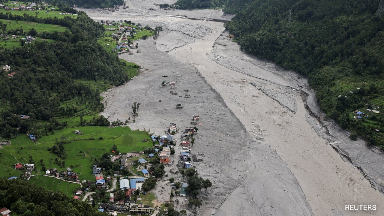
Satellite Images Show How Trishuli River In NepalSwelled Up To 6 Times, Swallowed Houses
The NDTV team analysed satellite images by Vantor, Planet Labs PBC, Google Earth, and Google Open Buildings to understand the changing course of the Trishuli river, which carried the bulk of the devastating slurry.
This story summarizes reporting from NDTV. Read the original for full context. Wire items stay in our news sitemap for seven days. Editorial policy.
Read full story on NDTV →NDTV4 Sept 2026, 09:04 amUpdated 3h ago1 min readWorldWorld
World — NDTV


